

Severe weather season in the Midwest, once it is springtime it is like clockwork, waiting for the parts to come together and the right time to strike. One such extreme case came about last year on Tuesday, May 21, 2024, when the violent EF4 Greenfield tornado struck the small town of Greenfield, Iowa. The tornado killed five people, caused more than $31 million in property damage, and was confirmed by National Weather Service (NWS) surveyors to have maximum wind speeds of 185 miles per hour. However, a brief wind gust inside the tornado detected by a Doppler on Wheels (DOW) mobile radar unit estimated wind gust speeds of 309-318 miles per hour. This is only the third tornado to achieve that grim milestone after the Bridge-Creek Moore tornado of 1999, and the El Reno tornado of 2013 which both occurred in Oklahoma. While violent weather can occur anywhere at any time, it is important to be prepared and stay aware.
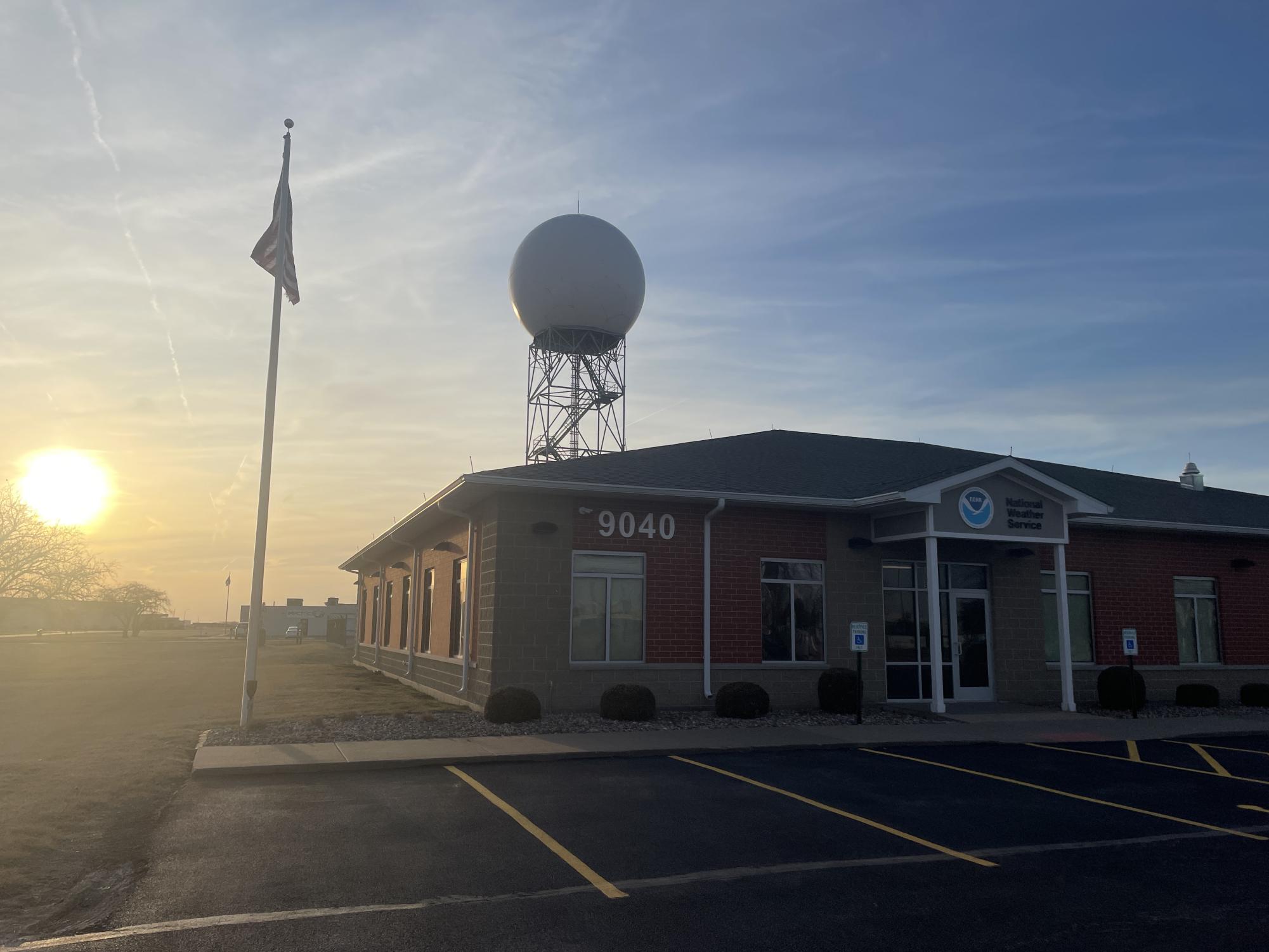
National Weather Service forecaster John Haase describes some technology that is used at the NWS Quad Cities office to track the skies around the area.
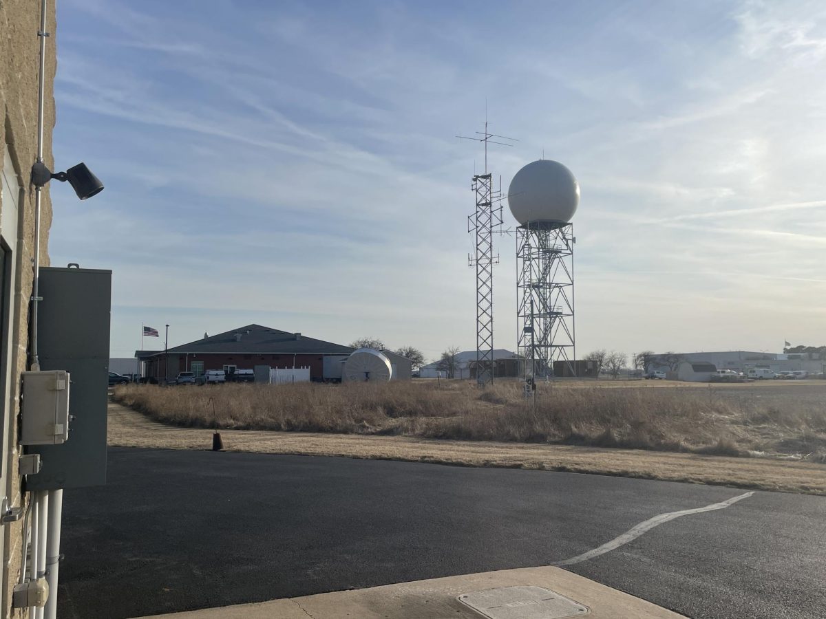
“Every six hours, we take the observation. … We come out and we check how much rain fell and how much snow and all that, … so we’re still doing that kind of thing. Then you can see all the equipment, that dish there, that’s for the satellite dish, that’s for, like, the workstations and all the data feeds into that,” Haase said.
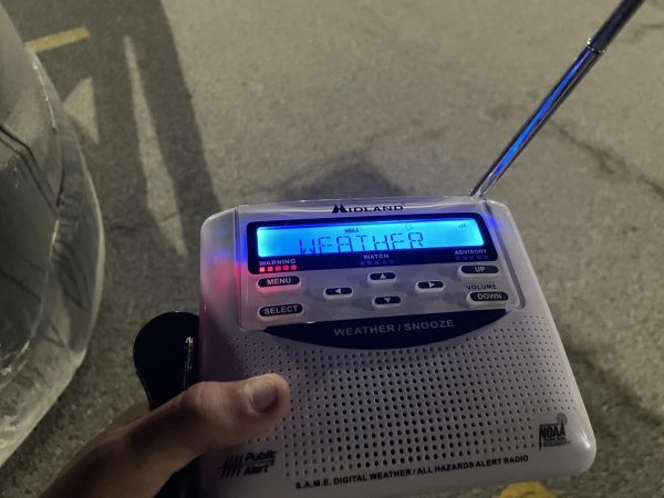
Technology is important, it is used everywhere nowadays and weather is no exception. With the advanced technology used by the NWS, such as a weather radio like the one shown, it helps deliver and push out statements, forecasts, watches, and warnings to the surrounding areas which saves lives and makes people more prepared if an emergency or catastrophic event were to occur.
Science teacher Jason Hensel has a degree in meteorology; he shares what he and his family do to make sure they are prepared for whatever storms come their way.
“For storm season at my house, we definitely have a storm kit in our basement that’s got water, food, socks, change of clothes, and shoes. We make sure the space is cleared out, and we have everything we need if we have to go downstairs and seek shelter from the storms,” Hensel said.
Being prepared for storms is critical, it can spare injury or even death in certain situations. The job for the NWS is to alert the public when storms or troublesome weather conditions could come, are coming, or are here. Along with a weather radio that sends out alerts, you can receive these same alerts on your phone or local news, which the NWS is responsible for sending those alerts out. It is important to be aware of what the NWS does, even if people do not realize it.
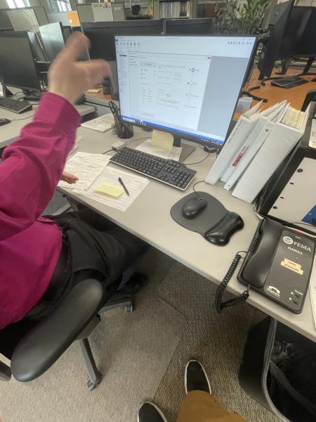
“We’re kind of behind the scenes, compared to the television meteorologists. You know, obviously everybody knows them and kind of the only time people actually see us is at a spotter talk. … We’re great partners with the media because they’re the ones that are doing the warnings on TV, yeah we’re the ones issuing the warning, … and people see our products, they go to our website and you see our products that we issue but most people have no idea what we do or who we are,” Haase said.
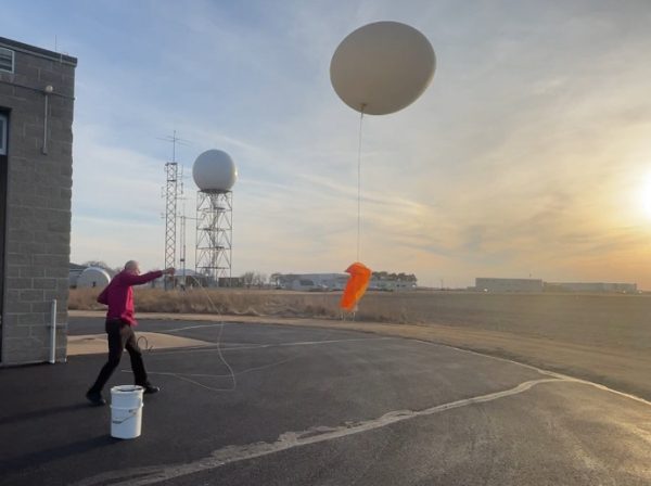
Something else that most NWS forecast offices do behind the scenes is launch weather balloons twice a day although some offices only launch one per day or none at all due to the Department of Government Efficiency trying to reduce government spending. Weather balloons are balloons made of helium or hydrogen that are launched in the sky with a radiosonde device. This radiosonde device that is attached to the balloon collects data such as dew points and wind speeds up to 100,000 feet in the air before they pop and parachute the radiosonde device back to the ground. For forecasters this data is critical because other technology such as a Doppler Radar can not collect data similar to a weather balloon’s data because it is in a fixed position on the ground.
“It’s flight number 139, this is starting at the first of January, and by the time you get to the end of the year, it’s like 700 flights because you can do special flights. If they’re forecasting a severe weather event, we can do a flight at like noon or something; so it’s launched two times a day for sure, but you can also launch them more often. If there’s a hurricane going up the East Coast, you might have offices all the way up here to Davenport actually launching every six hours for the hurricane,” Haase said.
Looking forward, with severe weather on the rise as Iowa tied for the second most tornadoes in the country last year with 131 tornadoes, getting new personnel and future forecasters into the weather service is a top priority for weather offices across the country.
Senior Evan Sager wants to major in meteorology when he goes off to college, and when he gets out of high school he looks to gain experience in the summer months.
“I’m not too sure yet but I think I might get some volunteer work at the National Weather Service and have some discussions with local television meteorologists like Erik Maitland from KWQC,” Sager said.
As another severe weather season gears up, the hope is to get the forecast put out accurately and in a timely fashion to keep surrounding communities safe.
Springtime and severe weather are like clockwork, now they are on the clock.